Industry’s First Scraper Pig Geolocator Tool Enhances Pipeline Operation
Back to InsightsIn Brief
Resource Data created an industry-leading visualization tool to accurately identify temperature loss locations along the pipeline. It allows engineers to effectively manage oil flow and operations through data-driven decision making.
Challenges
In crude oils, contaminants such as wax, collect on interior pipeline surfaces reducing product flow. Regular maintenance and effective management of wax in the pipeline is critical.
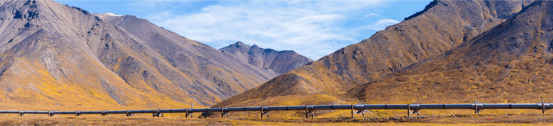
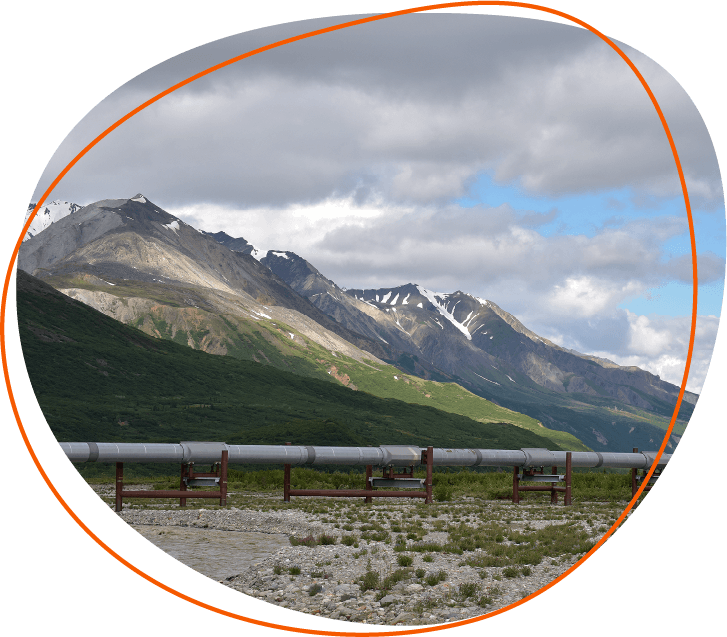
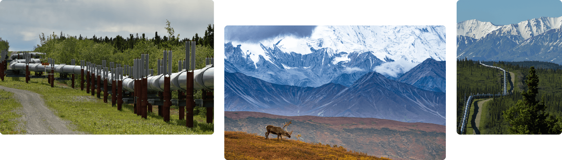
To this end, the Flow Assurance Study Team (FAST) for the Alyeska Pipeline Service Company sends Scraper Pigs with a Pipeline Data Logger (PDL) to clean the 800-mile pipeline on a frequent basis. The PDL collects large volumes of records of data on time, temperature, pressure, and acceleration during each trip. Given the sheer volume of data points, the PDL manufacturer and the engineers could not manually identify the Pigs’ geographic location.
Engineers needed an automated and interactive tool.
Approach
The groundbreaking project required an initial proof of concept based on aligning pressure spikes with elevation peaks. The team used rapid prototyping and an agile development process and frequent brainstorming sessions with subject matter experts. This enabled us to design and fine-tune a processing algorithm and build the automation scripts, application, and visualization products. The resulting data driven visualizations told a compelling and defendable story; we could successfully and precisely locate high heat flux regions along the pipeline.
Solution
Resource Data worked closely with pipeline engineers to develop automated algorithms and an application that matches the pig data to a location along the pipeline and displays data visually. Combining location and temperature information allows engineers to easily identify high heat loss regions. They can then precisely position pipeline heaters to keep oil flowing.
Results
Interactive visualizations told a compelling and defendable story, illustrating new relationships between datasets. Engineers improved their minimum flow, oil heating, and particle transport models, as well pig design. The FAST team also makes recommendations to the operations group based on data-driven analysis. The leading-edge visualization tool has helped engineers better maintain crude oil flow, minimize wax buildup, and prevent compromised pigs.