Interactive Web Map Clarifies Land Access and Supports Responsible Use
In Brief
Web Map Improves Public Awareness and Protects Shareholder Lands
Gana-A’Yoo, an Alaska Native Village Corporation owned by over 2,200 Koyukon Athabascan shareholders, needed a clear, accessible way for hunters and recreationists to understand where its corporate lands begin and what rules apply to their use.
Resource Data deployed a public-facing ArcGIS Online web map and QR-code access workflow that clarified boundaries and reduced unintentional trespassing during hunting season. The solution also strengthened Gana-A’Yoo’s internal land management capabilities for long-term resource planning and the protection of Athabascan cultural heritage.
Key Takeaways
A field-ready tool that removes guesswork.
-
Clear Land Boundaries Accessible to the Public
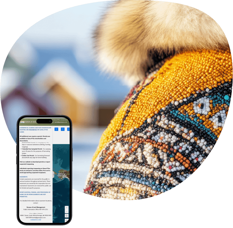
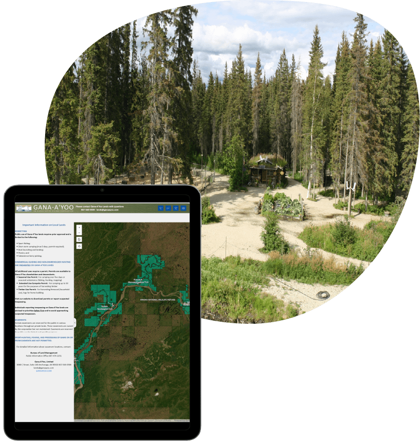
A mobile-friendly Experience Builder application enables recreationists and hunters to identify Gana-A’Yoo land, review access rules, and locate themselves on the map while in the field.
-
Rapid Delivery for Hunting Season Deadline
Leveraging publicly available data allowed the team to configure the AGOL environment, publish layers, and deploy the web map within the client’s expedited timeline.
-
QR Code Provides Immediate Field Access
A scannable QR code links directly to the public map and is placed on signs at the entrances to Gana-A’Yoo territory, allowing the public to quickly view land status while approaching or entering the area.
-
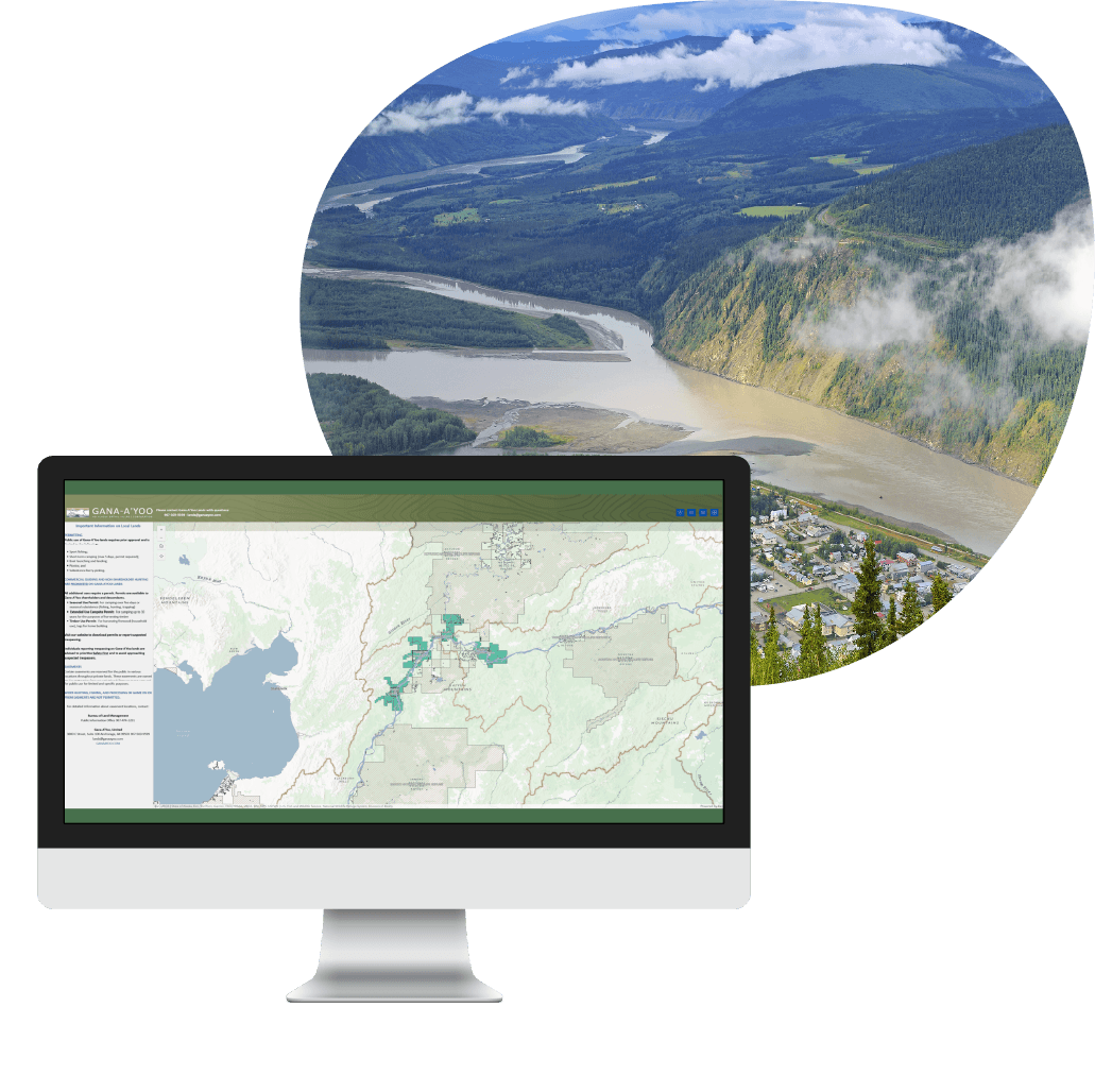
Internal Map Supports Long-Term Land Planning
A separate internal version provides additional layers—such as vegetative and biological data—that support land management, conservation insights, and long-term planning.
-
Culturally Aligned Cartography
Custom labels created with Arcade expressions display both common and Koyukon names for local communities, reinforcing cultural context within the map interface.

The Challenges
Manual review slowed enrollment and strained staff
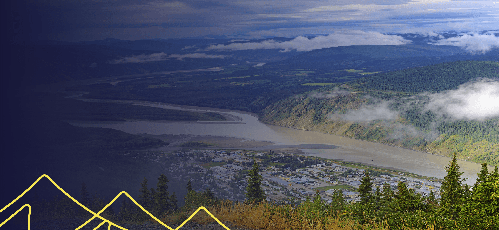
Gana-A’Yoo manages more than 438,000 acres of land across western Alaska where public access is limited to approved activities such as sport fishing, camping, and picnicking. Hunters and recreationists often struggled to identify these boundaries, leading to unintentional trespassing, improper land use, and growing safety concerns for nearby communities.
The corporation is also committed to protecting Athabascan cultural heritage and needed clearer geographic insight to guide land stewardship and conservation decisions.
With hunting season approaching, they sought a fast, accurate, and user-friendly mapping tool that could communicate land access rules and help reduce misuse.
The Solution
Web maps built for clarity, access, and stewardship
Resource Data configured an ArcGIS Online environment and built a public Experience Builder application using a combination of public and internal datasets. The map provides clear boundary visualization, rule information, pop-ups, and location tools so the public can easily understand where they stand relative to corporate lands.
A QR code placed on signs at the entrances to Gana-A’Yoo territory enables immediate access to the web map while on foot. Mobile and tablet layouts were configured and tested to ensure reliable field use, and users can view detailed land information, including community names, status, history, and the exact size of each area.
A separate internal app includes vegetation, biological, and stream data to support resource planning. Vegetation layers incorporate indexes that help identify areas with strong plant health as well as locations needing restoration. Custom dual-language labels highlight both common and Koyukon community names. Together, the public and internal applications give Gana-A’Yoo a complete mapping foundation that supports responsible public access and informed, long-term land management.
Results
Faster access. Better awareness.
Recreationists and hunters can now easily determine when they are entering Gana-A’Yoo land, review access rules, and contact the corporation for approval. The tool reduces confusion for the public while supporting responsible land use. Internally, the app guides land-use and preservation decisions, supporting biodiversity and ecosystem health. The public and internal maps were delivered ahead of schedule and under budget.
What's Next
Expanding mapping capabilities for future needs
As Gana-A’Yoo continues to manage and protect its lands, the map can be updated to reflect future parcel changes or additional data needs. The structure provides a long-term foundation for expanding mapping capabilities and supporting ongoing land stewardship.